
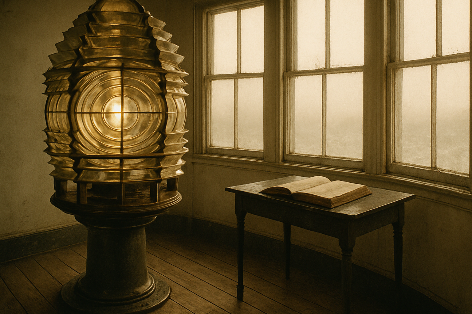
Harbor Point lens room, 1912
North Haven Inlet
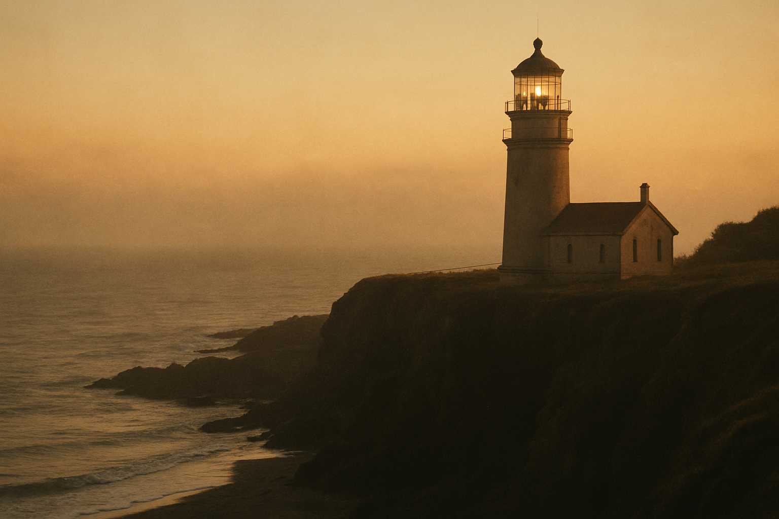
Northern Coast Lighthouse Archive
A curated historical record connecting lighthouse keepers, archival imagery, and preserved towers across the shoreline.
Plate 07 · Lantern Room at first light, northern headland survey.
Archive highlights
Six preserved moments—keepers, towers, and weather—curated as a quick visual entry before deeper reading.
Harbor Point lens room, 1912
North Haven Inlet
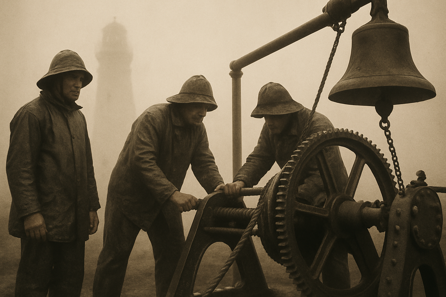
Fog bell crew on duty, 1904
Blackstone Reach
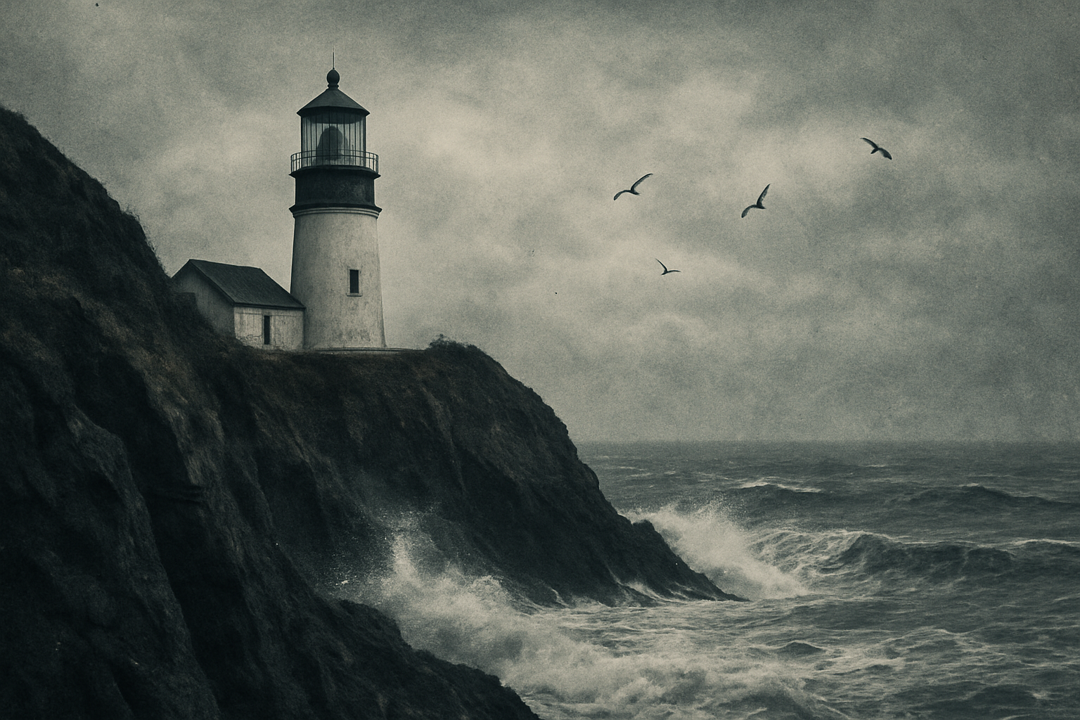
Winter watch, 1921
Raven Cliff
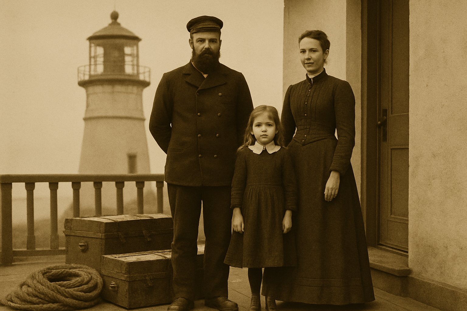
Station family portrait, 1898
Ashford Point
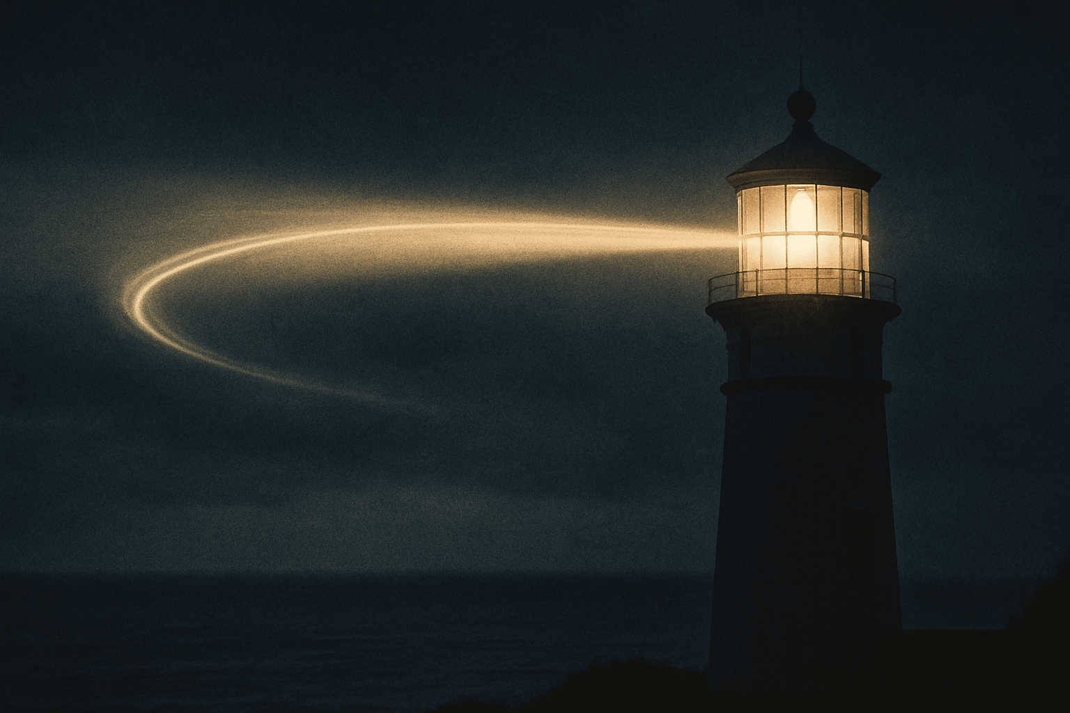
Night beam exposure, 1930
Cape Ellery
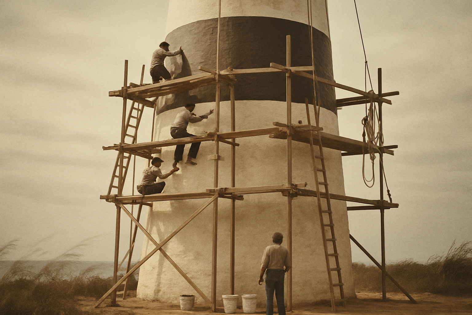
Tower restoration, 1976
Marlow Head
Coast overview
Along this coastline, towers were built where shipping pressure, severe weather, and long-term stewardship intersected. Their history explains how navigation infrastructure became part of regional identity.
Nineteenth-century cargo lanes narrowed near headlands, so lights marked safe approaches to timber, fish, and grain ports used across the northern coast.
Persistent fog, winter icing, and abrupt squalls reduced visibility, making fixed coastal lights more reliable than bearings taken from shoreline landmarks alone.
After automation, local trusts and maritime historians stabilized surviving towers, documented keeper records, and opened selected sites for educational access.
Historical arc
Six milestones place the northern coast lighthouse archive in sequence, from first construction to modern preservation.
1824–1838
Harbor authorities commission the first stone towers and fixed lamps to mark hazardous headlands for winter shipping routes.
1850s–1880s
A coordinated coastal program adds range lights, fog signals, and keeper stations, creating a continuous chain of guidance points.
1890s–1930s
Keeper families maintain lamps, log weather, and sound fog alarms through storms, turning isolated towers into working coastal communities.
1940s–1960s
Electrification, radio beacons, and automation reshape lighthouse labor, reducing full-time crews while expanding navigational reach.
1970s–1980s
Several stations are decommissioned as modern navigation systems take precedence, leaving towers vulnerable to weather and neglect.
1990s–Today
Local trusts, historians, and volunteers stabilize surviving towers, digitize records, and connect sites through heritage mapping.
Map guide
Use the map to move from broad shoreline context into each surviving lighthouse record in a few focused steps.